Startpagina / Weernieuws /

Breakfast Brief: Remnants of Beryl spread north, flash flood threat increases

09:00
9 juli 2024

Breakfast Brief
Remnants of Beryl spread north

Impacts from remnants of Beryl are spreading north across the Mississippi River Valley and Midwest, increasing flash flood concerns. Meanwhile, record-high temperatures continue into mid-week across large portions of the West Coast.

Did you know?

On this day, 2005, Hurricane Dennis made landfall along the south-central coast of Cuba near Cienfuegos with winds of 145 mph, making it a Category 4 hurricane. Dennis caused significant damage in Cuba, including widespread utility and communications outages.

The relentless heatwave across the West continues, with multiple record-breaking temperatures reported in several states since the weekend. For example, on Sunday, Las Vegas set its all-time record-high temperature at an astonishing 120 degrees. As we head into mid-July, the heatwave will expand into the Central U.S., affecting the Plains and Midwest.

extreme west tempThe TemperatureRadar shows afternoon highs across the Pacific Northwest, with I-5 corridor cities reaching record-breaking temperatures. Some low-lying Intermountain West valleys may be near 110 degrees on Tuesday

Flash flood concerns are on the rise, and heavy, tropical downpours fueled by remnants of Beryl are spreading across the Mississippi Valley and Midwest. Rain chances then spread northwest across the Great Lakes and Northeast through mid-week.

Beryl made landfall as an intensifying Category 1 hurricane just before 4 a.m. local time on Monday morning near Matagorda, Texas. It had sustained winds at 80 mph and caused widespread impacts along the Texas coast, including storm surge, inland flooding, wind damage, and power outages.

Tropical update:

Besides Beryl's remnants, there are no other tropical systems expected to bring impacts to the U.S. in the next seven days. We will have another update in tomorrow's Breakfast Brief.

The news we're covering today:

  • Flash flood risk increases as Beryl remnants spread north
  • Extreme West heatwave expands

Did you miss these?

Beryl's landfall - Monday's Live bloglees meer
Beryl winds in downtown Houstonlees meer

App news & updates

With the recent landfall of Hurricane Beryl along the Texas Coast, it becomes apparent how important the WindRadar can be. As we head towards the peak of the hurricane season in September, make sure to have it handy and understand how it works by reading here.

Federico Di Catarina
Ook interessant
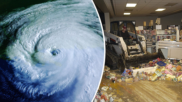
Links een satellietfoto van een orkaan boven zee, rechts een man in een opruimvoertuig die puin en levensmiddelen opruimt in een ondergelopen supermarkt.
zaterdag 30 augustus 2025

Al 20 jaar geleden

Orkaan Katrina trof Amerikaanse Golfkust
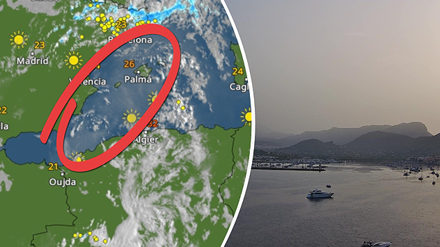
Weerradar met stofwolken en webcambeeld van Mallorca met een melkachtige lucht.
woensdag 27 augustus 2025

Melkachtige lucht

Saharastof boven Spanje
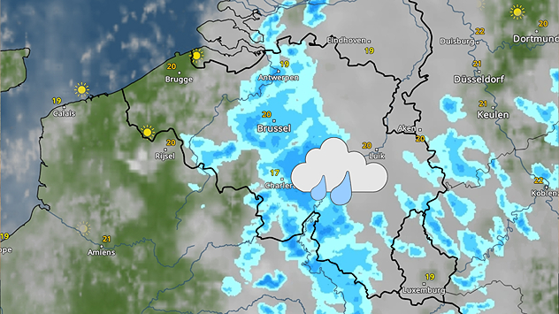
De WeerRadar toont een zone met buiige regen boven België. Icoontje van regen is daarom midden in het land ingetekend.
zaterdag 30 augustus 2025

Later wat zon

Zondag begint met wat regen
Alle berichten
Weer & Radar

www.weerenradar.be

facebooktwittertikTokContact
Privacy Policy | Colofon | Toegankelijkheidsverklaring